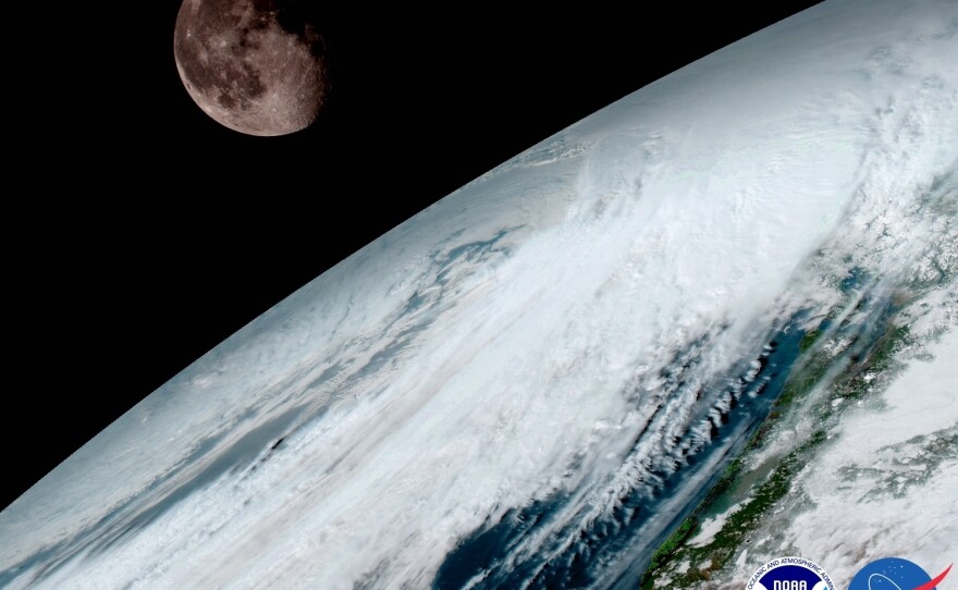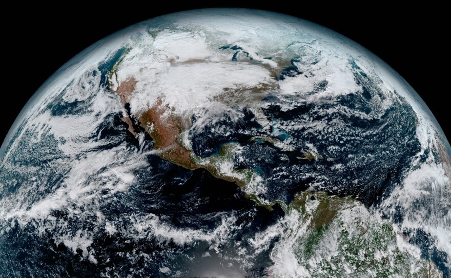
The National Oceanic and Atmospheric Administration has released crisp, color images of Earth from its newest orbiting weather satellite.
"The release of the first images today is the latest step in a new age of weather satellites," the agency said in a press release. "It will be like high-definition from the heavens."
The satellite, known as GOES-16, is in geostationary orbit, meaning its location does not move relative to the ground below it. It is 22,300 miles above Earth. The 16 in its name refers to its imaging device, which measures 16 different "spectral bands," including two that are visible to the human eye and 14 that we experience as heat.
It is significantly more advanced than the current GOES satellite, which measures only five spectral bands.
GOES-16 was launched from Cape Canaveral, Fla., in December and is a collaboration between NOAA and NASA. When it is fully up and running, the satellite will "provide images of weather pattern and severe storms as frequently as every 30 seconds, which will contribute to more accurate and reliable weather forecasts and severe weather outlooks," according to its mission overview page.
In the press release, Stephen Volz, director of NOAA's Satellite and Information Service, wrote of the new photos:
"This is such an exciting day for NOAA! One of our GOES-16 scientists compared this to seeing a newborn baby's first pictures — it's that exciting for us. These images come from the most sophisticated technology ever flown in space to predict severe weather on Earth. The fantastically rich images provide us with our first glimpse of the impact GOES-16 will have on developing life-saving forecasts."
So far, the images are just for testing purposes, though. The satellite will not be fully operational until November, says a spokesman for NOAA's satellite division.
Between now and then, the agency will have to decide where to park GOES-16. There are two choices: the Eastern U.S., or the Western part of the country. NOAA was not able to immediately explain its criteria for determining which part of the country will get the new technology's weather forecasting benefits.
A second, similar satellite known as GOES-17 is being tested in Colorado, and NOAA says it expects it to begin operating about nine months after GOES-16.
Copyright 2017 NPR. To see more, visit http://www.npr.org/.


