A series of three powerful storms are taking aim at San Diego County and could deliver torrential rains, flooding, gusty winds and heavy mountain snow. According to the National Weather Service, the first storm, the weakest of the pack, is expected to arrive early Thursday morning with the strongest hitting on Monday.
The long plumes of moisture moving toward the county from the Pacific, called atmospheric rivers, are the same type of storm that pounded Northern California last week with up to 11 inches of rain and ten feet of snow.
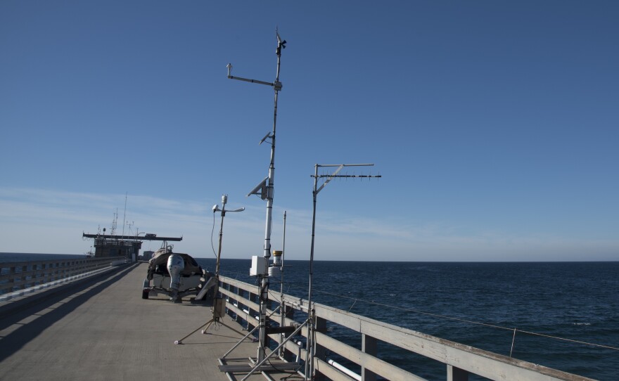
Marty Ralph, director of the Center for Western Weather and Water Extremes with Scripps Institution of Oceanography, will be tracking the storms closely via a network of 100 weather sensors that are spread across San Diego County as well as the state. Ralph helped develop the the four types of sensors for analyzing extreme weather and providing accurate forecasting.
“What we are able to do is measure the strength of these atmospheric rivers when they hit shore, in great detail,” Ralph said. “And we can measure how much of the watershed is getting snow versus rain, because we can measure the snow level aloft.”
Soil moisture sensors will also accurately predict saturation and flooding.
“We’ve had some pretty substantial rain this winter and the soils are in a position where they’re likely to produce runoff rather quickly,” said Ralph, who was on the Scripps campus on Tuesday leading a conference on atmospheric rivers and other weather extremes.
He said the coming series of storms could be the largest San Diego has experienced in at least six years. An atmospheric river doused San Diego in December of 2010 with a full week of heavy downpours and destructive flooding.

“The heavy rain that is predicted to hit Southern California could likely produce some localized flooding, like urban and street flooding,” Ralph said. “But also the San Diego River is expected to reach flood stage.”
San Diego has received nearly 6 inches of rain at Lindbergh Field since October 1, which marks the start of the rain year. The coming storm systems could dump another 4 inches of rain along the coast and 6 inches in the inland valleys. The mountains could receive up to 20 inches of snow at elevations above 5,000 feet, according to forecasters.

The National Weather Service has issued wind and high surf advisories.
“Very strong rip currents, minor coastal flooding and beach erosion are expected to accompany the high surf,” warned the National Weather Service. “Conditions will also be hazardous at sea, with a 6-10 ft swell on Thursday increasing to 12-18 ft. by Saturday.
The last of the storms is expected to move out by Tuesday.


