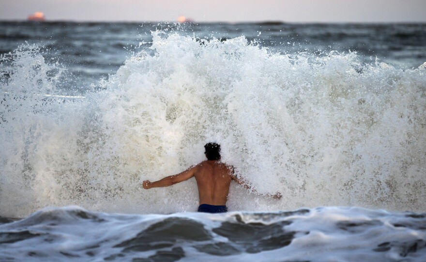
The first rains and strong winds from Hurricane Florence began hitting North Carolina early Thursday, leading the way for a storm packing 110-mph winds. Florence has weakened a bit over 24 hours, but it's also grown even larger – and it will likely dump torrential rain over North and South Carolina through Monday.
"Little change in strength is expected before the center reaches the coast, with weakening expected after the center moves inland," the National Hurricane Center said. Florence is currently a strong Category 2 storm.

Florence was about 170 miles east-southeast of Wilmington, N.C., at 8 a.m. ET Thursday, the National Hurricane Center said. The storm was moving northwest at 12 mph. It's currently predicted to make landfall near Wilmington and then head west across South Carolina.
Hurricane conditions will likely hit the Carolina coast on Thursday night or early Friday. Tropical storm-force winds are predicted to arrive by late Thursday morning or early afternoon.
Despite the drop in maximum sustained winds, forecasters stress that this hurricane is not to be taken lightly. Hundreds of thousands of people have already evacuated. Officials are urging others in its path to follow suit, or prepare for the worst.
"Do not focus on the wind speed category of #Hurricane #Florence!" the National Hurricane Center said Thursday morning. "Life-threatening storm surge flooding, catastrophic flash flooding and prolonged significant river flooding are still expected."
Forecasters say Florence will likely turn to the west-northwest and west and slow down its forward motion – a situation that will bring even more rainfall to the area. The storm's 12-mph speed Thursday morning was a marked drop from Wednesday's 17-mph speeds.
The latest rainfall projections warn of 20-40 inches of rain from coastal North Carolina into northeastern South Carolina — amounts that could bring "catastrophic flash flooding," the hurricane center said. The rest of South and North Carolina can expect 6 to 12 inches of rain — and up to 2 feet in isolated areas, the NHC warned. That forecast area also includes part of southwest Virginia.
The storm surge — often the most perilous risk to life posed by any hurricane — is expected to inundate areas along the coast with saltwater that's 9-13 feet deep, from Cape Fear, N.C., to Cape Lookout, N.C.
A hurricane warning is in effect for a big chunk of the Carolina coast, from the South Santee River below Myrtle Beach, S.C., to Duck, N.C. — part of the Outer Banks. The warning also includes Albemarle and Pamlico Sounds, large bodies of water in North Carolina that could also see significant flooding.
Florence is projecting hurricane-force winds outward up to 80 miles from its center; tropical-storm-force winds are swirling outward up to 195 miles away.In addition to the hurricane's obvious risks, the National Weather Service says, "A few tornadoes are possible in eastern North Carolina through Friday."
Copyright 2018 NPR. To see more, visit http://www.npr.org/.


