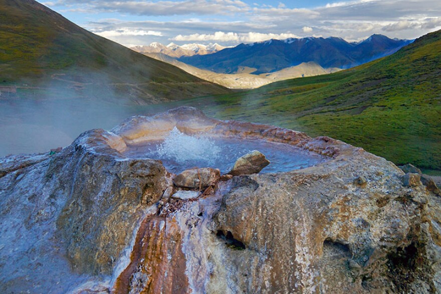
Shot in Bangladesh, Bhutan, China, India, Mongolia, Nepal and Pakistan, the film explores the dramatic and far-reaching effects of the Indian and Asian tectonic plates crashing below the Himalayas and their impact on the region's geology, climate and people.
It also reveals how the Indian-Asian plate collision created notable geologic superlatives: Earth's highest mountain range-the Himalayas-and some of Earth's largest rivers, such as the Brahmaputra, Ganges, and Indus, which flow from the Himalayas and the Tibetan Plateau to sustain 45 percent of all the people in the world.
Yet these rich benefits to humanity are coupled with great risks in the form of major earthquakes, frequent flooding, landslides, and erosion.
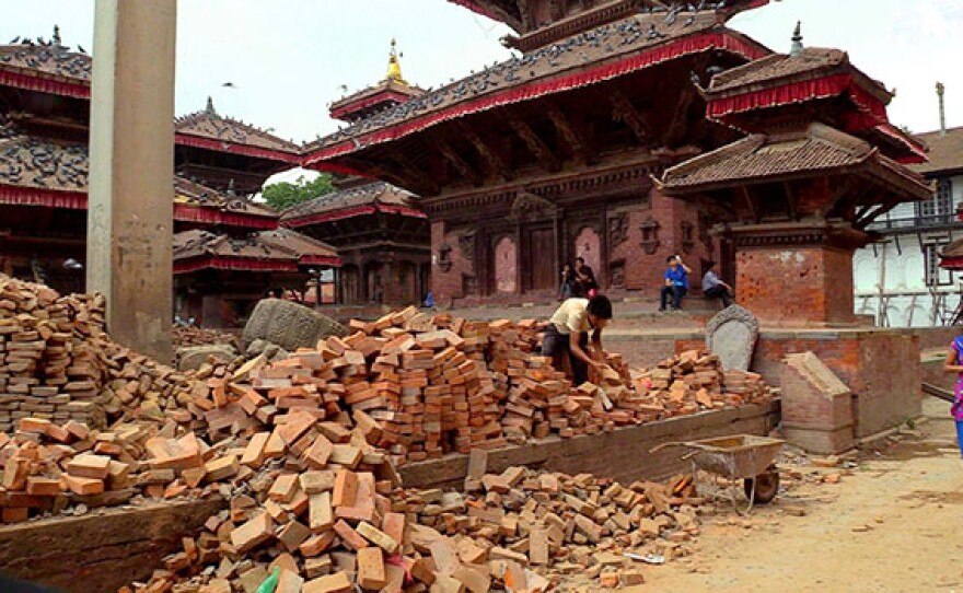
“The Himalaya Connection” explores how the devastating Nepal earthquake of 2015 spurred intensified efforts by scientists to better understand earthquake processes and to successfully push for stronger defensive measures throughout the region.
A sense of urgency in the scientists' research builds to the climax of the film, when a group of seismologists and geologists working in Bangladesh and northeastern India discover a gigantic earthquake fault, previously unknown, which is actively building up strain across a landscape that is home to 140 million people.
Credits:
Presented by Earth Images Foundation. Distributed by American Public Television. This project was funded by the National Science Foundation.


