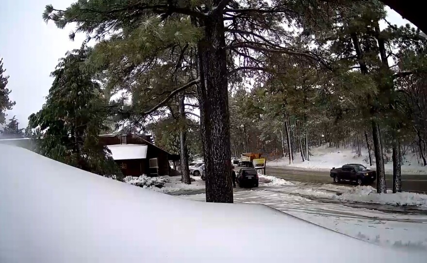
Recent storms have boosted California’s vital Sierra Nevada snowpack but not enough to fully compensate for a dry start to winter and residents should use water wisely, a state official said Wednesday after the season’s latest measurements.
Statewide, the water content of the snowpack was 70% of average to date, said Sean de Guzman, chief of the Department of Water Resources’ snow surveys and water supply forecasting section.
The water supply outlook is much better "but we’re still nowhere near out of the woods,” he said in a livestream from Phillips Station, a Sierra snowcourse south of Lake Tahoe.
The Sierra snowpack typically supplies about 30% of California’s water needs when spring comes and it begins to melt, eventually running off into aqueducts and reservoirs.
“The state has experienced a series of storms over the last couple of weeks that brought a significant amount of rain and snow, however these storms were not nearly enough to make up a deficit that we have accumulated over last few months,” de Guzman said.
The department determines snow depth and water content through a network of hundreds of automated sensors and by having crews make measurements by hand.
A manual measurement at Phillips Station found 63 inches of snow and a water content of 17 inches, which was 93% of average to date and 68% of the average on April 1, when the Sierra snowpack is typically deepest and has the highest water content.
The current water content of the overall snowpack is 45% of the April 1 average.
Precipitation statewide during October, November and December was only 39% of average as weather was influenced by a La Nina condition in the Pacific Ocean that is marked by below-average sea surface temperatures. The water content of the snowpack statewide was only about half of average on Dec. 30.
During a typical La Nina year a ridge of high pressure builds up off the West Coast and pushes many storms into the Pacific Northwest and British Columbia, de Guzman said.
Some of those storms make landfall in California but only in the northernmost areas, leading to better snow conditions in the northern Sierra than in the southern section of the 400-mile-long (644-kilometer) mountain range.
De Guzman said it would take multiple days of above-average precipitation to make up for the dry early months, but he held out hope.
“As California continues to experience what appears to be a second straight year of below average rain and snow, remember that February is still one of our three wettest months of the year and that could really help us make up a lot of that deficit,” he said.


