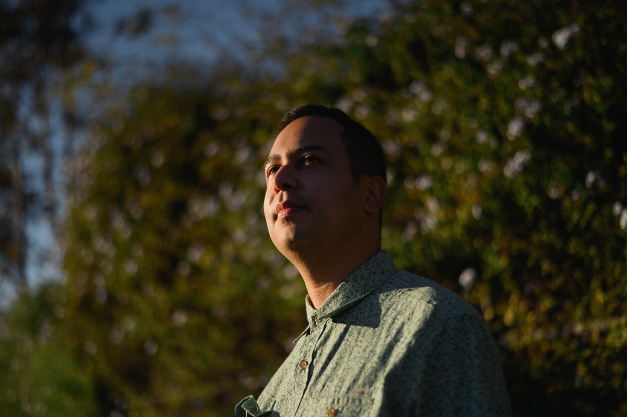
A new analysis shows how much Chula Vista residents’ access to parkland depends on where they live.
The analysis, conducted by geographic information systems (GIS) researcher and Chula Vista resident Jacob Helfman, visualizes how areas east of Interstate 805 have over three times more parkland per person than those west of the freeway.
Helfman’s analysis shows that many of the neighborhoods on the west side of the city with less parkland are also poorer, experience higher levels of pollution and are more likely to identify as Latino.
“This is a really big environmental justice issue,” Helfman said. “I believe every resident deserves access to quality parks as places to play, exercise and connect with nature.”
Parks and green spaces bring many benefits to the neighborhoods around them. They do everything from improving rates of physical fitness and encouraging residents to spend time together to soaking up heat on warm days and raising the value of nearby homes.
Chula Vista’s divide over who gets to enjoy those benefits has been a subject of debate for years. City data have long shown that residents of eastern Chula Vista — the newer and wealthier part of the city — enjoy significantly more park space than residents on the Westside.
The City Council’s decision this year to explore permanently closing Harborside Park in Southwest Chula Vista revived residents’ frustrations over that disparity and raised questions about how to bring more parks to the western half of the city.
For Helfman, who grew up and still lives in west Chula Vista, this debate is personal. His father has a type of dementia that makes it hard to walk and perform daily tasks. But one thing that brings him relief, Helfman said, is spending time in parks and green spaces. Helfman said doctors have recommended it as a way for people with dementia to reduce stress and anxiety and strengthen their hearts and lungs.
“It really improves their physical health,” Helfman said.

The debate over Harborside inspired Helfman to use his professional skills to examine the city’s park disparity. He specializes in geographic information system (GIS) research, which combines computer science and digital mapping. Last month, he began his own analysis of the city’s parks using various regional, state and federal datasets.
Helfman’s analysis shows how access to parkland in Chula Vista overlaps with residents’ income, race and exposure to environmental hazards, in particular.
Residents of almost all neighborhoods east of the 805 had more than three acres of parkland per person nearby and higher median household incomes. Many west Chula Vista neighborhoods had less than one acre of parkland per person and were more likely to fall into lower income brackets. Westside residents were also more likely to identify as Latino.
Helfman also found that people living further west experienced more pollution, with the state counting some neighborhoods along the I-5 freeway as environmentally “disadvantaged communities.”
“It brings up questions of fairness and inequality,” he said.
Across the country, many cities have historically concentrated parks and green space in wealthier and whiter neighborhoods and neglected that infrastructure in areas where more residents are Black or other people of color.
Many formerly redlined neighborhoods, for example, are consistently hotter than other areas because they have less tree cover and parkland to absorb heat.
Chula Vista officials say they are working on some possible ways to bring more parks to the west of the city, including one planned park site in the northwest section.
Helfman said he understands the city faces significant hurdles in closing the parkland divide. But he’s hopeful city leaders can find new ways to add more green space.
“I really hope the parkland issue opens up discussions about climate change,” he said in a text, “and what type of future we want in west Chula Vista.”


