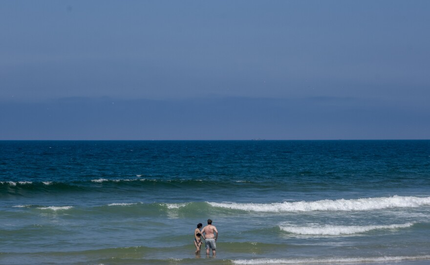
The marine layer, nature’s air conditioning, won’t be of much help through the weekend. Temperatures are going to rise no matter where you live, according to the National Weather Service.
“It puts San Diego residents into a stressful situation," said Tessa Tinkler, the director of research at University of San Diego's Nonprofit Institute. The organization researches quality of life issues in the region, and then tries to help nonprofit organizations working to solve those issues.
In this case, Tinkler was mainly talking about people who live south of Interstate 8.

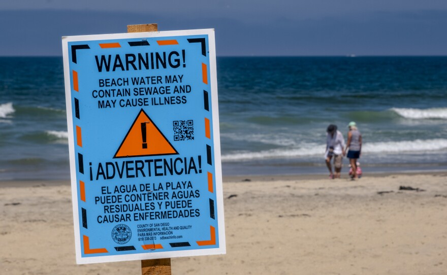
“Particularly those in the South Bay where they could find relief from the heat waves in being able to go to the beach, and yet they don’t want to risk getting sick from unhealthy beach water," said Tinkler.
From Border Field State Park right up to Coronado, the beaches may be open, but getting into the water, polluted by sewage flowing up from Tijuana, can make folks very sick.
And there’s another divide when it comes to our weather this summer.

It seems that it's staying cooler much longer into the summer season along the coastal plain, than it is in the East County. Brian Adams of San Diego's National Weather Service office said that is indeed what's happening.
“It’s ultimately due to the marine layer still kind of hanging around in the mornings, which ultimately is also due to the ocean temperatures still running a few degrees cooler than normal," said Adams.
He also said that the reason the ocean water is cooler than normal in mid-July can be traced back to our very wet winter.
“The big body of water that the Pacific Ocean is, is really like a big heat sink, so it holds on to that cooler temperature a lot longer than the air above it does," Adams said.
The meteorologist said a big dome of high pressure over the southwest will expand westward into early next week, bringing higher temperatures and more humid conditions for all of us.
But just remember how many of us couldn’t wait for the seemingly never-ending May Gray and June Gloom to clear out … well, here we are!


