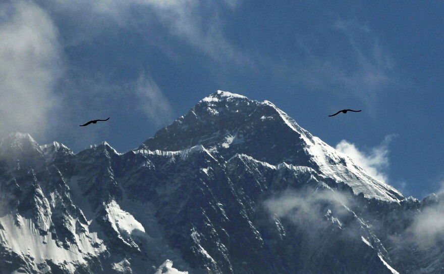
The world's highest peak just grew a couple of feet overnight — on paper, at least.
On Tuesday, after years of fraught discussion and surveying work, China and Nepal announced a revision to the elevation of Mount Everest: Officials say the summit now stands precisely at 8,848.86 meters, or 29,031.69 feet above sea level.
That makes the official measurement more than 2 feet taller than the consensus had it on Monday.
"It is a historic day today," Nepali President Bidya Devi Bhandari said in a letter to Chinese President Xi Jinping, read aloud during a joint news conference Tuesday. "Indeed, completing this important task with our own human resources and technical capacity is a significant achievement. While sharing this happy moment, I extend my sincere congratulations to the governments and peoples of both Nepal and China."
Now, the change's significance may be lost on the uninitiated at first. After all, the difference between the old elevation and the new number rolled out Tuesday is less than a meter. This reporter's 4-month-old baby could just about span the difference by standing on her tippy-toes (if she could stand).
Yet the new measurement, which demanded a gargantuan, multiyear undertaking, seeks to settle an important — and stubbornly persistent — dispute about the height of the world's tallest peak, situated on the border of Nepal and Chinese-ruled Tibet.
Back in 1856, the Survey of India estimated it to stand 29,002 feet above sea level — a widely accepted conclusion that held until 1955, when an Indian survey reestablished the number at 29,029 feet.
The decades since that consensus calculation, though, have racked up reasons to reevaluate the accepted height. A 2005 Chinese survey estimated it to be 29,017 feet, for instance, while another survey sponsored by the National Geographic Society several years earlier placed the number at 29,035 feet.
And there's another factor at play: The actual mountain is moving, thanks to geological forces such as plate tectonics slowly thrusting it upward and the massive 2015 earthquake that possibly made it shorter.
So Chinese authorities and the Nepali Survey Department undertook an ambitious project to pin down the exact elevation of the highest point on Everest, also called Sagarmatha in Nepal and Chomolungma in Tibet. The two countries each dispatched a surveying team, equipped with GPS receivers, to brave the elements at the summit. From there, they spent months discussing and analyzing their findings.
The project culminated Tuesday with a ceremony broadcast remotely from both countries' capitals, during which each side revealed and formalized the new number by pressing a crystal ball simultaneously.
Copyright 2020 NPR. To see more, visit https://www.npr.org.


