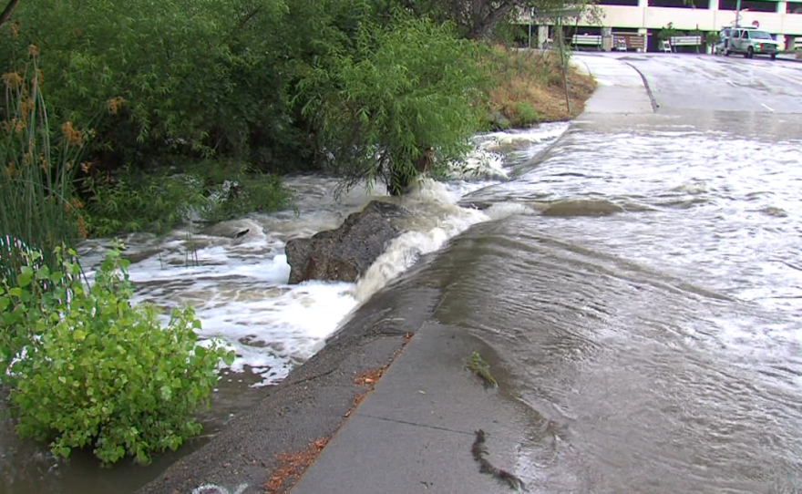
Climate change is worsening the already significant threat of flooding in California’s farm country, and state officials said Thursday that as much as $30 billion may be needed over three decades to protect the region, an increase from five years ago.
Every five years, flood protection plans are updated for the Central Valley, where about 1.3 million people live at risk in floodplains. State officials released a draft of the latest update that calls for investing in levees, maintenance and multibenefit projects that recharge aquifers and support wildlife while enhancing flood protection.
The investments are necessary to protect a growing region where climate change is expected to worsen the chance of heavy rains and flooding, especially for the San Joaquin river basin.
“Climate change is no longer the future boogeyman that it once was. It's here,” said Kristopher Tjernell, deputy director of integrated watershed management at the California Department of Water Resources.
RELATED: Shrinking Southern California wetlands may help slow climate change
The cost of maintenance and new construction increased in part due to those changes and a better understanding of what is needed, according to the draft.
The 2017 flood plan update called for $17 billion to $21 billion in investments over three decades. Since that update, about $4.4 billion has been allocated.
The latest draft said the need is now $25 billion to $30 billion over the coming 30 years. Those investments, however, will save lives and property, according to the plan.
The Central Valley is in the state’s interior and includes cities like Sacramento and Fresno. It is also home to a $17 billion agricultural economy. While the hurricane-prone Gulf Coast may be more associated with catastrophic flooding, the Central Valley is at significant risk.
In 2017, severe weather forced officials to use the emergency spillway at Oroville Dam, about 75 miles (120 kilometers) north of Sacramento. Water tumbling over the spillway caused erosion, and nearly 200,000 people were temporarily evacuated as a precaution.
California is struggling with drought and this spring continues to be dry. Snowpack is well below average, reservoirs are low, and officials fear a bad wildfire season. But not having enough rain and snow now doesn’t mean flood risk has gone away, said Nicholas Pinter who researches watersheds at the University of California Davis.
“These updates are usually about maintaining interest in flooding,” especially during a multiyear drought, Painter said. It is important not to neglect problems even if they aren't immediately occurring, he said.
Finding enough money is a challenge, according to the draft. State funds are insufficient and it is difficult to persuade local communities to pay enough for flood management, according to the plan. Opportunities to grab more federal dollars are increasing, however.
Officials said combating climate change requires projects that do more than just prevent floods. Allowing floodwaters to spread out can also help recharge aquifers and improve habitat.
“It’s one big watershed, and we have to be working together,” said Julie Rentner, president of the conservation group River Partners.
The plan also calls for tracking performance and ensuring disadvantaged areas are properly protected, according to the draft.
The public can submit comments on the draft through early June. The Central Valley Flood Protection Board is responsible for reviewing the comments and adopting the update.


