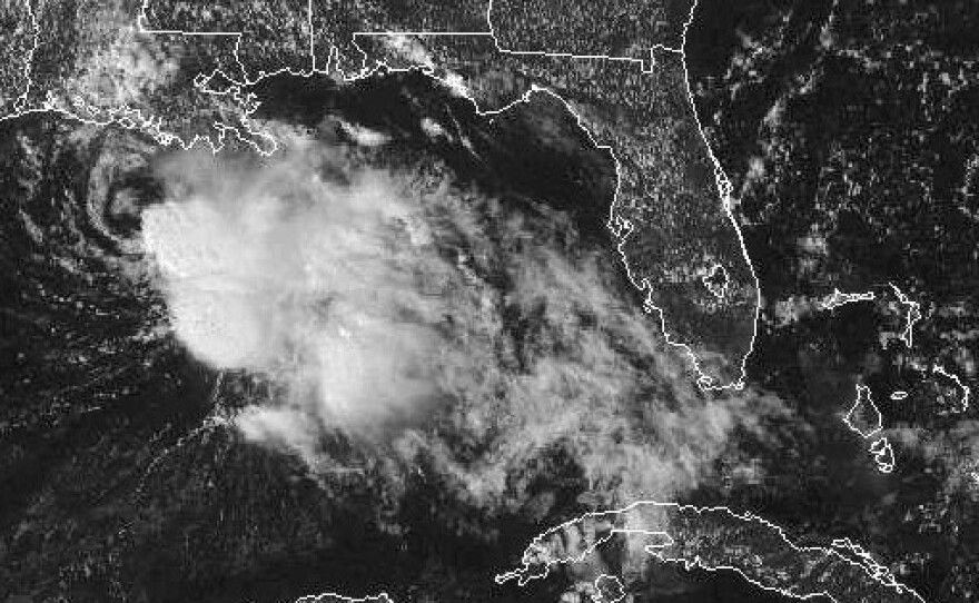
Karen, once feared to hit the U.S. Gulf Coast as a hurricane, has stalled out and weakened into a tropical depression. The National Weather Service says the storm is "drifting" at 2 mph, moving toward Louisiana's southeastern edge. As of early Sunday morning, it was about 165 miles west-southwest of the mouth of the Mississippi River.
Forecasters say that heavy rain and a storm surge may cause localized flooding in low-lying areas along the coast, but no widespread weather warnings or watches are in place. In Louisiana, an evacuation that had been mandatory was degraded to a voluntary evacuation on Saturday.
"Maximum sustained winds have decreased to near 30 mph," the National Hurricane Center said on Sunday. "Karen is expected to become a remnant low later today."
In the next two days, Karen's path is predicted to shift a bit to the east, taking its center just south of the Alabama and Mississippi coast later Sunday and tonight, and passing over parts of Florida's panhandle on Monday.
Copyright 2013 NPR. To see more, visit www.npr.org.


