KPBS and inewsource partnered for this in-depth reporting project we’re calling “America’s Wall.” We were motivated by President Donald Trump’s call to spend billions of dollars to build a longer, more fortified wall along the U.S.-Mexico border.
We wanted to know what that new and improved wall might mean for the people on both sides of the border, and we looked to facts from the past to tell the story.
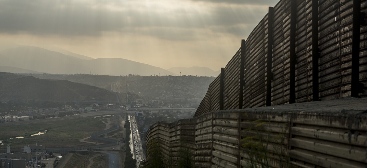
Using previously undisclosed data from the federal government, we were able to create an interactive map that shows every mile of the current wall along with when it was constructed. We layered that information with illegal immigration patterns over the decades as well as federal efforts to beef up law enforcement staffing along the border. We also obtained information about tunnels built to get around the wall as more miles of it went up.
America's Wall: How We Crunched The Numbers
It took months and four Freedom of Information Act requests to get the data from the U.S. Customs and Border Protection.
Once the answers to our requests started arriving in June, four journalists were teamed up to the tell the story of the wall and the lives affected by it: KPBS investigative reporter Jean Guerrero, inewsource data reporter Leo Castañeda, KPBS videographer Kris Arciaga, and inewsource director of data and visuals Brandon Quester.
The analysis of the data found that America’s Wall, as it stands today, is not a unified wall but a confederation of fences and barriers stretching across four states: California, Arizona, New Mexico and Texas. Sometimes hundreds of miles stretch between sections.
The data also shows it is a relatively new wall built under the direction of Democratic and Republican presidents. Nearly 90 percent has been constructed in the past dozen years.
But we also went beyond the numbers, interviewing experts who study immigration and U.S-Mexico relations. And we profiled people whose lives are affected by America’s Wall: a San Diego Border Patrol agent; a Fallbrook man whose brother died in the Arizona desert while crossing illegally into the U.S.; a muralist who paints the Mexican side of the U.S. wall; a Boulevard retiree and self-described vigilante who is armed while patrolling his property along the border; and a Valley Center mother who travels to Tijuana with her children to visit her husband who has been deported.
We hope you’ll explore the stories, videos, photos and graphics that make up this project and let us know what you think. Please send your questions and comments about America’s Wall to border@inewsource.org and news@kpbs.org. Use the hashtag #AmericasWall to discuss online.
The following people contributed to this project:
Jean Guerrero / KPBS Investigative Reporter
Leonardo Castañeda / inewsource Reporter and Data Analyst
Brandon Quester / inewsource Director of Data and Visuals
Kris Arciaga / KPBS Video Journalist
Jim Tinsky / Interactive Map Developer for inewsource
Elma Gonzalez / KPBS Web Producer
Christopher Underwood / KPBS Web Producer
Susana Tsutsumi / KPBS User Experience Designer
Sarah Moriarty / KPBS Investigative and Digital Editor
Suzanne Marmion / Director of News and Editorial Strategy
Laura Wingard / inewsource Managing Editor
Lorie Hearn / Executive Director and Editor of inewsource
Russell Holsapple / Music Composer


