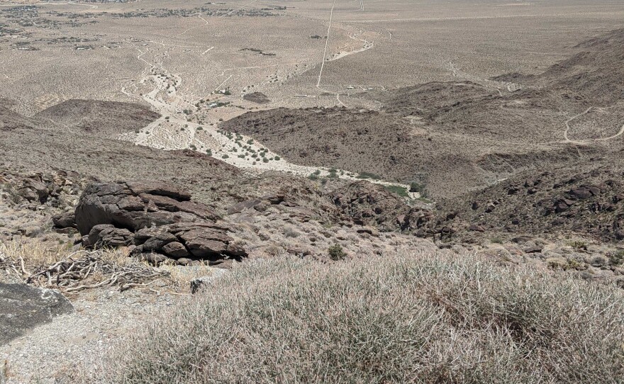
Sweltering conditions will persist in the San Diego County mountains and deserts Monday, but cooler weather is expected the rest of the week, according to the National Weather Service.
An excessive heat warning will remain in effect in those two areas until 9 p.m. Monday.
"It’s a similar heatwave to what we had last week, just not quite as hot," said Alex Tardy, the Warning Coordination Meteorologist at the National Weather Service San Diego.
Tardy describes the monsoon flow that brings moisture from Baja, Mexico and a big high pressure area that has settled over Portland and Seattle. That wind flow is going to bring some tropical moisture to the San Diego area.
RELATED: The Pacific Northwest Has Limited A/C, Making The Heat Wave More Dangerous
"Not a hurricane, but tropical moisture and that’s what the monsoon flow does and that looks like thunderstorms will become active over our mountains and even spill into some of our deserts over the next couple of days," Tardy said.
This unique heat dome has been sitting over the western states and as it shifts back down to the southwest deserts, the Fourth of July weekend could bring extra hot temperatures to those areas.
"It’s going to be a long summer, unfortunately like 2020, several heatwaves," Tardy said, "probably all the way into September and unfortunately at least one or two of those will start affecting us here on the coast."
San Diego can expect flex alerts and high fire danger and just plain excessive heat for a long time.
Excessive heat sometimes means potential power shortages, but no flex alert was issued today.
California Independent System Operator spokesperson Anne Gonzales said the grid has enough energy for now, but the upcoming thunderstorms could cause problems.
"The grid is stable and we’re not expecting any resource shortfalls and the thunderstorms of course always impact electricity systems because they can be damaging to equipment, both transmission and generators," Gonzales said.
To keep up with grid conditions, go to caiso.com or follow them on Twitter: @California_ISO.
Cooler temperatures will arrive on Tuesday, and thunderstorms will be possible in the mountains and deserts each afternoon from Tuesday through Thursday, forecasters said.
Highs temperatures on Monday are expected to be in the low-70s to low- 80s in coastal areas, the low- to mid-80s in the western valleys, the high-90s to low-100s near the foothills, the high-90s to low-100s in the mountains and the low- to mid-110s in the deserts.
The weather service said the extreme heat will significantly increase the potential for heat-related illnesses, particularly for those working or participating in outdoor activities.
People should be prepared to drink plenty of fluids, stay in an air- conditioned room, stay out of the sun and check up on relatives and neighbors.
While young children and pets should never be left unattended in vehicles under any circumstances, the weather service said that's especially true during warm or hot weather — when car interiors can reach lethal temperatures in a matter of minutes.
The county has opened nine "Cool Zone" locations to help the public beat the heat. They are located in Alpine, Borrego Springs, Fallbrook, Lakeside, Potrero, Ramona, Santa Ysabel, Spring Valley and Valley Center.
A full list of the locations can be found online.


