Updated December 28, 2022 at 4:36 PM ET
As the winter storm pummeling much of the eastern part of the United States begins to let up, a meteorological phenomenon known as an atmospheric river is forecast to bring days of rain and heavy winds to the West.
An atmospheric river is a relatively narrow channel of wind, hence the "river," that transports water vapor from the tropics to the West Coast. Powerful rivers that arrive at just the right angle of the coast can carry all the way to the Sierra Nevada.
"[Atmospheric rivers are] actually responsible for a good majority of the rainfall during the colder season which is the season when [the West Coast] gets most of the rain," National Weather Service senior forecaster Bob Oravec told NPR's Morning Edition on Wednesday.
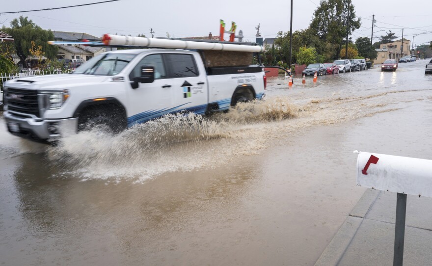
Atmospheric rivers that contain the largest amounts of water vapor and strongest winds lead to extreme rainfall and flooding, causing damage to property and inducing mudslides, Oravec warned.
Portland, Ore., has seen overflown riverbanks, fallen trees blocking roads, and collapsed power lines. As of Wednesday morning, more than 60,000 customers were without power in Oregon, the state with currently the most power outages, according to PowerOutage.us. Washington follows behind, with more than 20,000 customers without power.
Fire crews responded to flood-related emergencies in Gig Harbor, Wash., including electrical fires Tuesday.
More flooding pic.twitter.com/ZBh2Pyl28v
— GigHarborFire (@GigHarborFire) December 27, 2022
Seattle and Salt Lake City saw wind gusts of 45 to 55 mph Tuesday evening. And the San Francisco Bay Area saw as much as 4 inches of rain in North Bay on Monday and Tuesday.
After a brief lull on Wednesday, forecasters expect heavy rainfall and winds to resume on Thursday and linger through the weekend.
"We've had an atmospheric river that just ended recently produced a lot of heavy precipitation," Oravec said. "As we go forward over the next week, it looks like we're going to have several more opportunities for additional atmospheric rivers to affect the West Coast."
Forecasters predict the Bay Area will see 1 to 6 more inches of rainfall from Thursday to Saturday, with the highest numbers along the coast and over mountains.
"We may end up with over 15 inches of total precipitation over the next week or so, especially over the Sierra and parts of northern California," Oravec said. "It's going to make somewhat of a dent to the prolonged drought they are experiencing."
Despite heavy rainfall in the West, the East is beginning to see warmer temperatures after a historic winter storm brought frigid temperatures and heavy snowfall. Hard-hit places like the Buffalo, N.Y., area, where at least 34 people have died, are trying to recover and clear roads as snowfall lessens.
Copyright 2022 NPR. To see more, visit https://www.npr.org. 9(MDAzMjM2NDYzMDEyMzc1Njk5NjAxNzY3OQ001))


