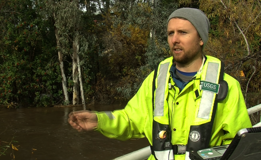
The San Diego River is overflowing from this week’s El Niño-driven downpours. Four days of relentless rain have transformed the river to a raging torrent at times, flooding roads and parking lots across Mission Valley.
The U.S. Geological Survey is closely monitoring conditions with a small, boat-like instrument called an acoustic Doppler profiler, which is floated back and forth across the river.
“We’re measuring the depths and the widths and the velocity, and that gives us the discharge,” said Zach Barry, a USGS hydrological technician who was collecting data on Thursday morning at a flood alert station near Fashion Valley.

“Right now, we’re at approximately 10 feet,” Barry said, entering information into a computer.
The level is 2 feet above the street level and just 1 foot below “flood stage,” which is 11.3 feet.
“And that’s when you definitely have problems," said Dianna Crilley, associate director for data with the USGS California Water Science Center.
Crilley said the team takes regular readings because rivers are dynamic.
“As water moves through them, it can erode banks, and it can also deposit sediment as it flows. And so you’re constantly changing the geometry of that channel,” Crilley said.

The USGS data is used by the National Weather Service for flood forecasting and by San Diego County to issue flood warnings — especially for downstream communities.
The public can also monitor conditions at waterwatch.usgs.gov.
“So if you live in an area and you’re worried about the river, or if you’re a kayaker and you want to see what the levels are doing, you can sign up for alerts and it will send you text messages,” Crilley said.
The river is expected to recede until the next round of rain begins.


