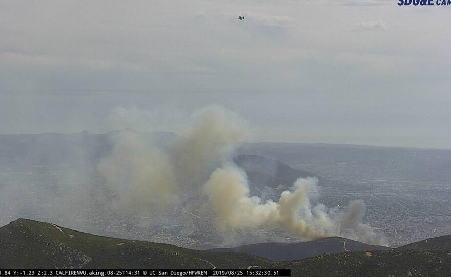
Weather officials say hot Santa Ana winds are expected to ramp up Thursday and continue into Friday. The National Weather Service in San Diego has issued a red flag warning. It's in effect from 5 a.m. on Thursday to 5 p.m. on Friday.
Alex Tardy of the National Weather Service in San Diego said Santa Ana winds can make wildfires uncontrollable.
"You get embers and sparks and flames that are moving away from the fire into new fuel, into new brush and you’re basically chasing something. You’re chasing a moving target and it’s not only dangerous, sometimes it impossible to control," Tardy said.
The National Weather Service in San Diego said winds will develop late Wednesday night, then strengthen and become more widespread Thursday morning with the humidity decreasing through the morning to 5 to 10 percent by early afternoon.
Tardy says it is hot, there will be 50 mph to 60 mph winds, and there is plenty of dry fuel in the mountains.
“We have all of those ingredients in place. It’s not unusual for October, its just a matter of when it occurs and how severe it is. In this particular case, for Thursday and Friday, it looks like a moderate type of event. So not the worst we’ve seen, but it certainly fits right in the middle and it presents itself as critical fire danger," Tardy said.
Both of the county’s largest firestorms, the Cedar fire in 2003 and the Witch Fire in 2007 began during Santa Ana events at the end of October.
Low humidity will continue into Saturday, but with weaker and less widespread winds. There will be greater humidity recovery Sunday as onshore flow strengthens and spreads cooling inland.
Current fires and any new fires may spread rapidly and exhibit extreme fire behavior. Active burning through the night due to gusty winds and extremely dry conditions.
Outdoor burning is not recommended. The strong winds could blow around unsecured objects and make driving high profile vehicles more difficult. Areas of blowing sand and dust will be possible, which could lead to sudden visibility restrictions.
National Weather Service officials said temperatures will peak in the mid-90s, and low 100s in the mountains, valleys and desert regions over the next few days.


